 |
| Image courtesy and © Tailte Éireann. |
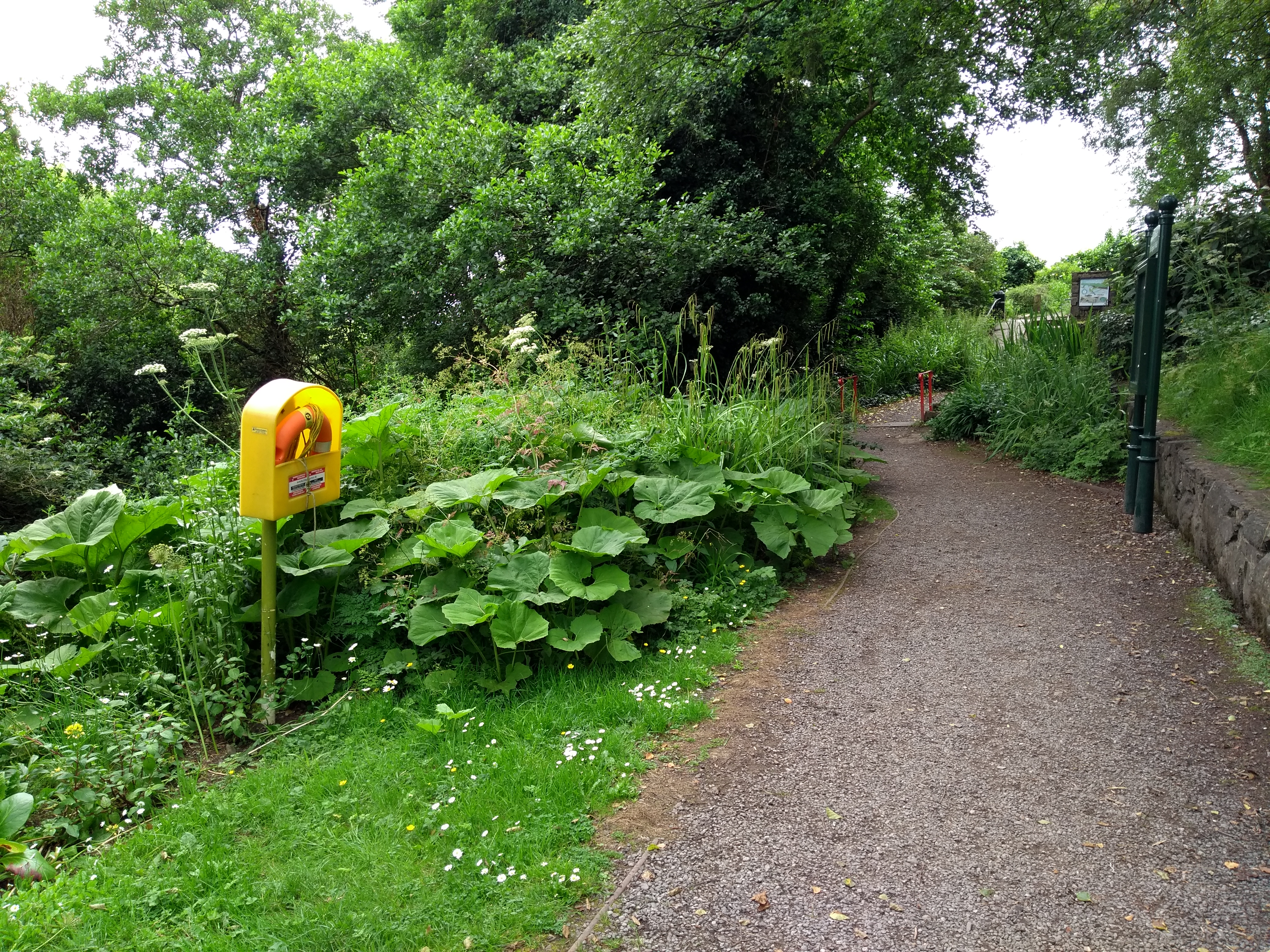
I was late as usual heading out on my Sunday cycle, and this week it was a relatively short trip to Sallins after the long cycle to the Glen of Imaal the previous weekend. My sister had informed me that the De Burgh Woodland Gardens were open again this year. The woodland area, located just off the Sallins Road on Mill Lane and once part of the De Burgh Oldtown estate, has been developed over the last couple of years by Kildare County Council, the land having been transferred to Naas Town Council in 2011. I guessed the gardens would probably close around 5 pm and sure enough when I got there at 4:40 pm, I only had five minutes to walk the trails by the time I got my bike locked, and removed bags and lights and all the other stuff that could easily be stolen. I didn't get a chance to take any photos, but the place looks nice, although quite dark because of the tree canopy. It is woodland of course, although there's a pond at one end, which I didn't manage to see. As usual when I visit these places, I often investigate the area the next day on Google Maps and Tailte Éireann's Irish Townlands and Historical Map Viewer to find out the historical function of some of the structures I might have noticed. On 19th century maps, a large rectangular pond existed to the right of the entrance to the park. From satellite imagery this seems to be overgrown and from what little can be seen on Street View over the wall from the vantage point of Mill Lane, it appears marshy and populated by irises. The pond was fed from a mill race or stream that originated on the Ballymore Road and this is still in existence. On the c.1900 25" OSI map, the mill race is shown running alongside the Union Workhouse (now the old part of Naas Hospital). This is the stream that was dammed to create the lakes at Lakelands. The mill race then continued to Corban's Mill (located near what was Lawlor's Ballroom) providing power to it before taking a sharp left, running under Corban's Lane and at the back of St. David's Castle. From there, it ran alongside what is now the John's Lane car park (which used to be the Superquinn overflow car park), before becoming a culvert running beneath main street and emerging to the surface a couple of hundred metres away at McCauley Place. From there, it continued parallel to the Sallins road towards a corn mill (with associated mill pond), shown as "Fryar's Mill" on the 25" map, before running under Mill Lane into the De Burgh Woodland Gardens.
 |
| Image courtesy and © Tailte Éireann. |
 |
| Image courtesy Google Maps. |
The Kildare County Council owned De Burgh Woodland Gardens are open Thursday to Sunday, April – October, 9am – 5 pm. More information here.
Map images courtesy and © Tailte Éireann.


